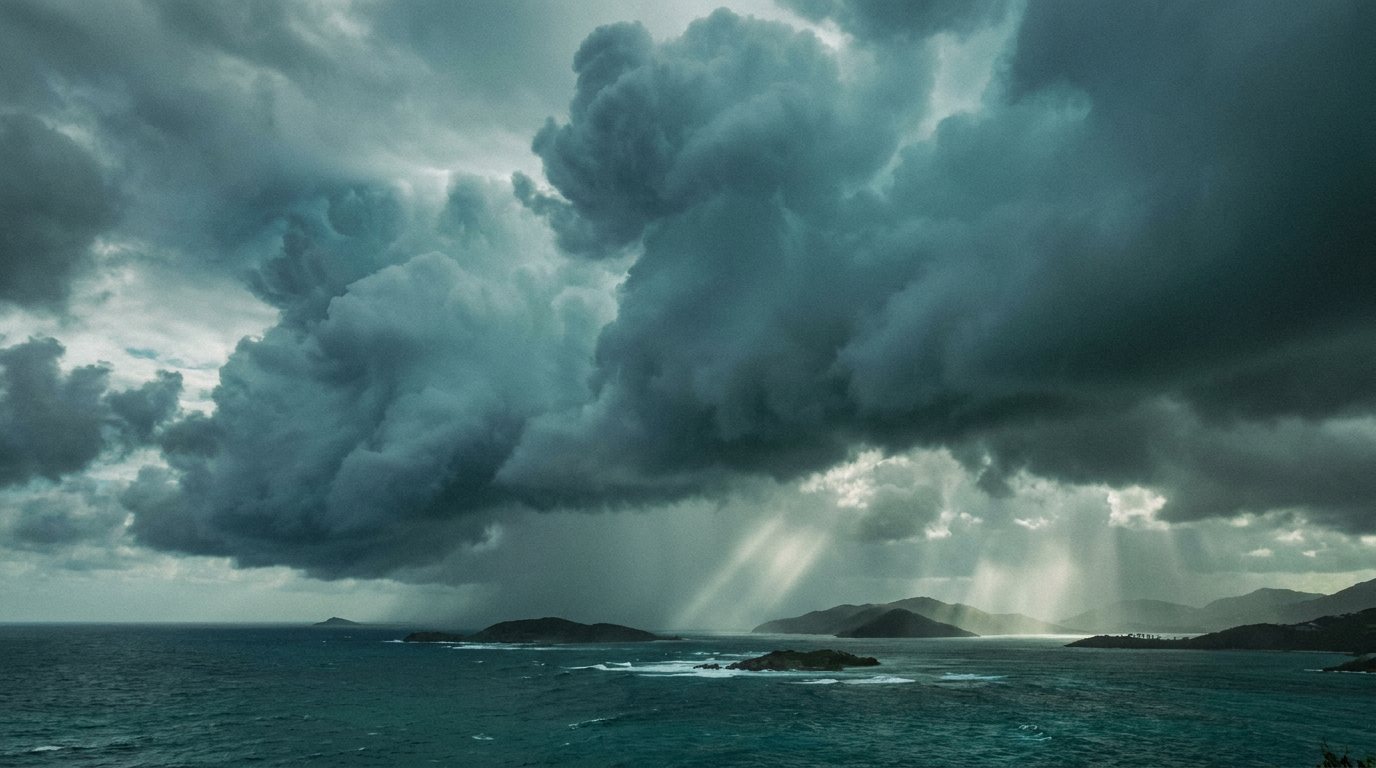
The Islands That Are Not in the Model
At the grid spacing used in the regional climate projections CARICOM states plan from, there is no land anywhere in the Lesser Antilles. The islands are modelled as sea. That is a documented fact with consequences for every adaptation claim the region makes, and it is now a tractable problem.
There is a fact about regional climate modelling that is easy to state and difficult to hear. In the CORDEX experiments at 50 km horizontal resolution, no land grid point falls between 12 and 20 degrees north and 64 and 56 degrees west. That box contains the entire Lesser Antilles. Antigua and Barbuda, Dominica, Saint Lucia, Saint Vincent and the Grenadines, Barbados, Grenada: every one of them is ocean to the model, and the nearest land points it recognises are about 500 km away in Puerto Rico and on the Venezuelan coast.
Cantet, Déqué, Palany and Maridet documented this in Tellus A in 2014, in a paper arguing that small islands need high-resolution modelling. Twelve years later it remains the sharpest single statement of a problem that affects every CARICOM member state, and it shapes what the region can and cannot claim in a climate finance application.
What a Coarse Grid Does to an Island
Jamaica is large enough to survive the averaging. At 50 km the island occupies four to six cells depending on where the lattice falls, so the model knows it exists. What it loses is its shape.
Blue Mountain Peak reaches 2,256 m. A 50 km cell carries the average of everything inside it, and along the line of the trade winds that average works out to about 851 m. Since Jamaican rainfall is produced by air being forced up that terrain, flattening the terrain flattens the rainfall. The north-eastern slopes of the range take 3,000 to 5,000 mm a year and the southern coastal plains of St Catherine and Clarendon take under 1,500 mm, and the model hands both the same figure. Those numbers come from State of the Jamaican Climate, produced by the Climate Studies Group Mona at The University of the West Indies.
Every mountainous island in the region has a version of that gradient. In each case the mechanism operates over tens of kilometres, which is smaller than a single cell.
Why the Obvious Answer Has Not Worked
The obvious answer is to run finer models, and the obstacle is arithmetic rather than will.
Halving the grid spacing quarters the cell area, so cell count grows as the inverse square of spacing. A dynamical model must also shorten its timestep to satisfy the Courant condition, Δt ≤ Δx/c, or the numerical scheme becomes unstable, so the step count grows as the inverse first power on top of that. In two dimensions the cost therefore grows as the inverse cube, and with vertical refinement as the inverse fourth power.
Moving from 50 km to 1 km is a factor of 125,000 in two dimensions and 6.25 million in three. Then multiply again by the ensemble size that any probabilistic statement requires. This is why the region has been planning coastal infrastructure and agricultural policy off fields too coarse to tell one parish from the next, and it is not a failure of regional institutions.
An AI emulator has no timestep to shorten. Its total work still grows with the number of cells, but it sheds the factor the Courant condition imposes, and a decomposed emulator evaluates subdomains independently so that they do not wait for one another. Compute stops being a physical ceiling and becomes a budget line. For a country the size of Saint Lucia or Grenada, the entire national domain fits inside a handful of subdomains.
The Evidence Gap Is a Financing Gap
This matters commercially and diplomatically, not only scientifically.
Adaptation finance is allocated on evidence of projected impact. An applicant state that does not appear as land in the underlying model carries a structurally weaker evidence base, and that weakness does not announce itself. It shows up as a proposal that reviewers find less specific, less quantified and less defensible than one from a country with a dense observing network and a national high-resolution downscaling programme.
The same applies to parametric insurance. A payout index computed from a coarse hazard field cannot separate the parish that was destroyed from the one next door that was spared. Following Hurricane Melissa's landfall in western Jamaica on 28 October 2025, CCRIF paid US$70.8 million under the tropical cyclone policy and US$21.1 million under the excess rainfall policy. The Planning Institute of Jamaica put total damage and loss at about US$12.2 billion, equal to 56.7 per cent of 2024 GDP. Most of that gap reflects the coverage Jamaica bought. Part of it reflects how well any index built on a coarse field can track damage that varies over kilometres.
What Is Being Built in the Region
The research is under way at the Climate Studies Group Mona, in the Department of Physics at The University of the West Indies, Mona, which has been producing Caribbean climate science since 1994 and has trained a generation of regional climate scientists.
The technical contribution is narrow. Physics-constrained downscaling models already enforce one conservation law: the average of the fine output should equal the coarse input. That law assumes the coarse driver is an unbiased aggregate of the truth, which holds by construction in a controlled experiment and fails in operation, because the driver is an independent global model and global models carry documented precipitation biases over this basin. A second law has not been enforced by anyone: what leaves one subdomain through a boundary must equal what enters its neighbour through the same boundary. That constraint binds the fine field to itself, so it does not inherit the driver's bias.
There are no results yet, and the experiment is designed so that a null result is publishable. The full technical argument, including the derivation and the pre-registered test that could refute it, is published at climatephysicsai.com.
Three Things CAIA Is Asking For
A regional observations commons. The binding constraint on validating any high-resolution model over the Eastern Caribbean is observations. Rain gauge records, river level logs, tide gauge series and parish flood records held by national met services, water authorities and disaster offices are the only data of their kind that exist, and they cannot be reconstructed later. A shared, properly licensed regional archive would do more for Caribbean climate modelling in five years than any single model would.
Native resolution in procurement language. Member states buying climate products should require the supplier to state the horizontal grid spacing of the underlying simulation over land, distinct from the delivery resolution of the product. Interpolating a 50 km field onto a 1 km grid produces more pixels and no more information, and it is common practice.
Regional compute, sized honestly. Decomposition means the memory requirement is set by subdomain size and not by domain size. That makes a shared regional facility a realistic proposition at a scale CARICOM could fund, provided the specification comes from a measured cost per simulated year rather than from a vendor's estimate.
The Part Worth Being Careful About
Cheaper is not the same as better, and CAIA would be doing the region a disservice by conflating the two. An emulator makes kilometre-scale output affordable. Whether it makes that output trustworthy, particularly under a changing climate where the model is asked about conditions outside its training range, is an open research question that the next few years have to answer.
What can be said with confidence today is narrower and still worth saying. The islands are in the Caribbean Sea whether or not they are in the grid. Getting them into the grid is a tractable problem, it is being worked on inside the region by regional institutions, and the evidence base that follows from solving it is the foundation for every adaptation claim the Caribbean will make for the next thirty years.
Frequently Asked Questions
Are Caribbean islands really absent from climate models?
In the CORDEX experiments at 50 km horizontal resolution, no land grid point falls between 12 and 20 degrees north and 64 and 56 degrees west, the box containing the Lesser Antilles. Every island in that chain is treated as ocean, with the nearest land points roughly 500 km away in Puerto Rico and Venezuela. This was documented by Cantet, Deque, Palany and Maridet in Tellus A in 2014. Finer regional simulations nested inside the coarse model can put the islands back, but they cannot recover information the coarse driving model never held.
Why does grid resolution matter so much for Caribbean rainfall?
Caribbean rainfall is largely orographic: the trade winds are forced up island terrain, the air saturates and the water condenses on the windward side, and the air that crosses the ridge descends dry. That mechanism operates over tens of kilometres. At 50 km spacing a model has one elevation per cell, so it has one path through that calculation. In Jamaica the north-eastern Blue Mountain slopes receive 3,000 to 5,000 mm a year while the southern coastal plains receive under 1,500 mm, and a single cell assigns both the same figure.
Why can't the region simply run higher-resolution climate models?
Because cost grows faster than the number of cells. Halving the grid spacing quarters the cell area, so cell count grows as the inverse square, and a dynamical model must also shorten its timestep to satisfy the Courant condition, which adds a further factor. Moving from 50 km to 1 km is a factor of 125,000 in two dimensions and 6.25 million in three, before multiplying by the ensemble size any probabilistic statement requires. AI emulation exists as a field because of that arithmetic.
How does model resolution affect climate finance for small island states?
Adaptation finance is allocated on evidence of projected impact. A member state that does not appear as land in the underlying model has a structurally weaker evidence base, and the weakness is not visible as an exclusion. It appears instead as a proposal reviewers find less specific and less quantified than one from a country with a dense observing network and a national downscaling programme.
What is CAIA asking member states to do?
Three things. Build a shared regional observations commons, because rain gauge, river level, tide gauge and flood records held by national agencies are the binding constraint on validating any high-resolution model and cannot be reconstructed later. Require suppliers to state native resolution over land in procurement documents, distinct from delivery resolution. And size any shared regional compute facility from a measured cost per simulated year rather than a vendor estimate, which decomposition makes realistic because memory scales with subdomain size instead of domain size.
Shape the future of AI in Caribbean and across the Caribbean
Join the Caribbean AI Association and be part of the community building this future.